Situation
Businesses regularly face administrative fines for violating advertising and signage regulations. The regulations are complex, context-dependent, and vary across buildings, streets, and districts. Moscow entrepreneurs lack tools to check their planned or existing signs in advance and avoid penalties.
Action
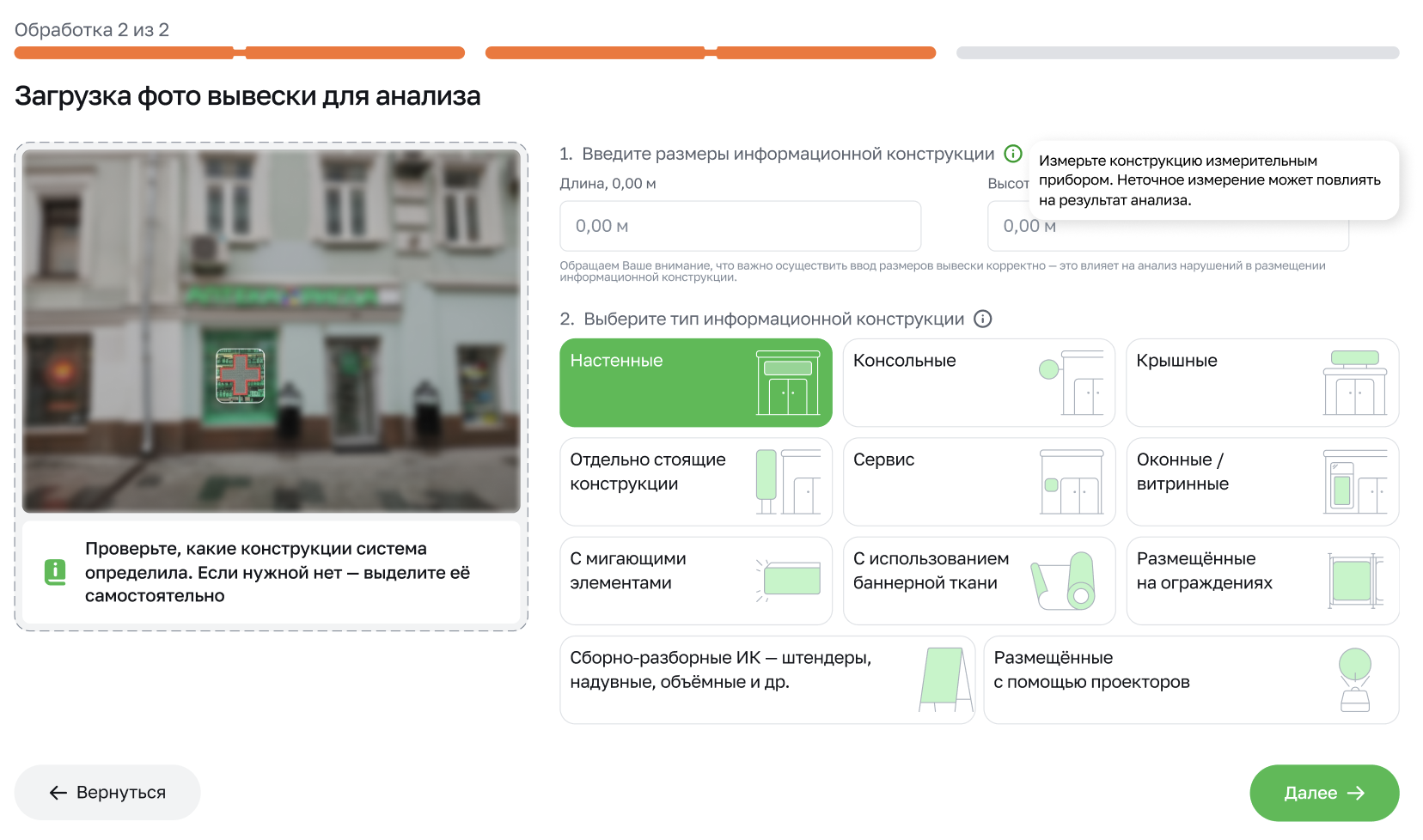
A web service based on an expert system using computer vision was developed. Numerous complex, context-dependent rules (building type, street status, adjacent signs, historical zones) were formalized into a single automatic verification algorithm. The user uploads the sign's parameters (or specifies the address), and the system returns a result in seconds: whether the structure complies with city regulations.
Technologies
CV models for classification and segmentation
OCR for text analysis
A rule-based engine
Visualization: adaptive web service
Result
The service has become a self-monitoring tool for entrepreneurs: they can check both existing and planned signs before receiving a fine. The system identifies specific violations, provides recommendations for correcting them, and informs about the availability of approved regulations at a given address. Now, you can check your sign in just two minutes, not two weeks.
MY CONTRIBUTIONSProject + product management · Development team coordination · Roadmap and resource management · Data collection · Testing · Client demonstrations · Results acceptance
情况
企业常因违反广告牌及标识法规而面临行政罚款。相关法规繁杂、依情境而定,且因建筑、街道和区域的不同而有所差异。莫斯科的企业主缺乏事先核验计划或现有标识、规避处罚的工具。
行动
项目团队基于计算机视觉专家系统开发了一套 Web 服务,将众多复杂的情境相关规则(建筑类型、街道状态、相邻标识、历史保护区)形式化为单一的自动核验算法。用户上传标识参数(或指定地址),系统在数秒内返回结果:该构件是否符合城市法规要求。
技术
用于分类与分割的 CV 模型
用于文本分析的 OCR
基于规则的引擎
可视化:自适应 Web 服务
成果
该服务已成为企业主的自查工具:无论是现有标识还是计划中的标识,均可在收到罚款前完成核验。系统指出具体违规项,提供整改建议,并告知指定地址是否有已批准的规范可供参考。现在,核验一块标识只需两分钟,而非两周。
我的贡献项目与产品管理 · 开发团队协调 · 路线图与资源管理 · 数据收集 · 测试 · 客户演示 · 成果验收